 |
|
|||||||||||

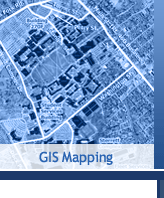
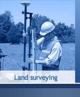
GEA Mapping promotes the total knowledge of location Intelligence by being a leader in the Geospatial Technology company providing mapping products including Topographic mapping, 3Dmapping, Land Surveying, Geo databases, Consultancy and Training. Objective 1 To perform applied research in the areas of geomatics engineering, transportation system planning & design, security and emergency management systems, information technology, navigation technologies, utility system planning and design, and geophysical studies. Objective 2 To provide training programs in the areas of GPS, digital photogrammetry and remote sensing, GIS/LIS, and QC/QA. Objective 3 To integrate Geomatics Services with other information systems and provide turnkey solutions to clients worldwide. Commitment to Diversity GEA Mapping maintains an affirmed commitment to diversity of Human knowledge, Environment awareness. Regardless of any religion, gender, race, nationality or ethnic background
|
||
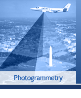
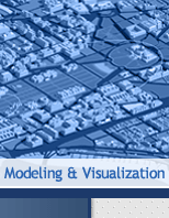
- Aerial Mapping - Modeling and Visualization
| ||
|