 |
|
|||||||||||

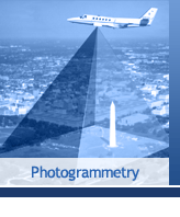
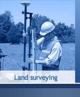
GEA Mapping promotes the total knowledge of location Intelligence by being a leader in the Geospatial Technology company providing mapping products including Topographic mapping, 3Dmapping, Land Surveying, Geo databases, Consultancy and Training. Objective 1 To perform applied research in the areas of geomatics engineering, transportation system planning & design, security and emergency management systems, information technology, navigation technologies, utility system planning and design, and geophysical studies. Objective 2 To provide training programs in the areas of GPS, digital photogrammetry and remote sensing, GIS/LIS, and QC/QA. Objective 3 To integrate Geomatics Services with other information systems and provide turnkey solutions to clients worldwide. Commitment to Diversity GEA Mapping maintains an affirmed commitment to diversity of Human knowledge, Environment awareness. Regardless of any religion, gender, race, nationality or ethnic background.
|
|||
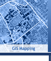
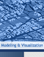
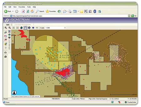
With geography as the unifying element linking seemingly disparate types of information, GEA Mapping uses GIS to help customers from a wide range of fields visualize and understand complex datasets for better decision making. GIS for knowledge integration benefits a wide-range of disciplines, including: - Business intelligence activities like data mining, spatial statistics, forecasting, and - Workflow and workforce management - Facility management and security ports, and campuses - Property management for site analysis and selection, visualization and presentation, and facilities maintenance GEA Mapping VisionStream offers a unique foundation for knowledge integration projects. The web-based client/server software platform comprises three critical components: (1) comprehensive, object-specific, photogrammetry-based 3D CAD models; (2) Software applications including a modular suite of online tools for querying, visualizing, and analyzing data models; and (3) custom middleware that join the data models and proprietary customer data, legacy systems, and third-party applications. |
|||
|
|