 |
|
|||||||||||

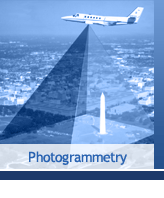
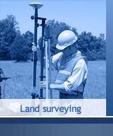
GEA Mapping promotes the total knowledge of location Intelligence by being a leader in the Geospatial Technology company providing mapping products including Topographic mapping, 3Dmapping, Land Surveying, Geo databases, Consultancy and Training. Objective 1 To perform applied research in the areas of geomatics engineering, transportation system planning & design, security and emergency management systems, information technology, navigation technologies, utility system planning and design, and geophysical studies. Objective 2 To provide training programs in the areas of GPS, digital photogrammetry and remote sensing, GIS/LIS, and QC/QA. Objective 3 To integrate Geomatics Services with other information systems and provide turnkey solutions to clients worldwide. Commitment to Diversity GEA Mapping maintains an affirmed commitment to diversity of Human knowledge, Environment awareness. Regardless of any religion, gender, race, nationality or ethnic background.
|
||
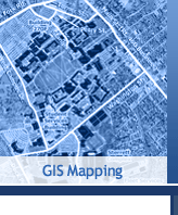
Having worked with local government agencies for more than 50 years, EarthData understands the GIS needs of cities and counties. From streamlining workflows to maximizing information sharing to automating time-consuming manual processes, EarthData's GIS services increase efficiencies for more effective governance.
EarthData also offers on-call consulting services for as-needed GIS support. Whether resolving efficiency and technology issues, such as automating a process or training personnel, or providing on-site services, such as ensuring system performance during emergency situations, EarthData is available to support the needs of local government customers. |
||
|
|